
Map of Moorfields and the Foundery
1850-1900 / Commemorative / Engraving / Paper / Print / The Foundery
Paper
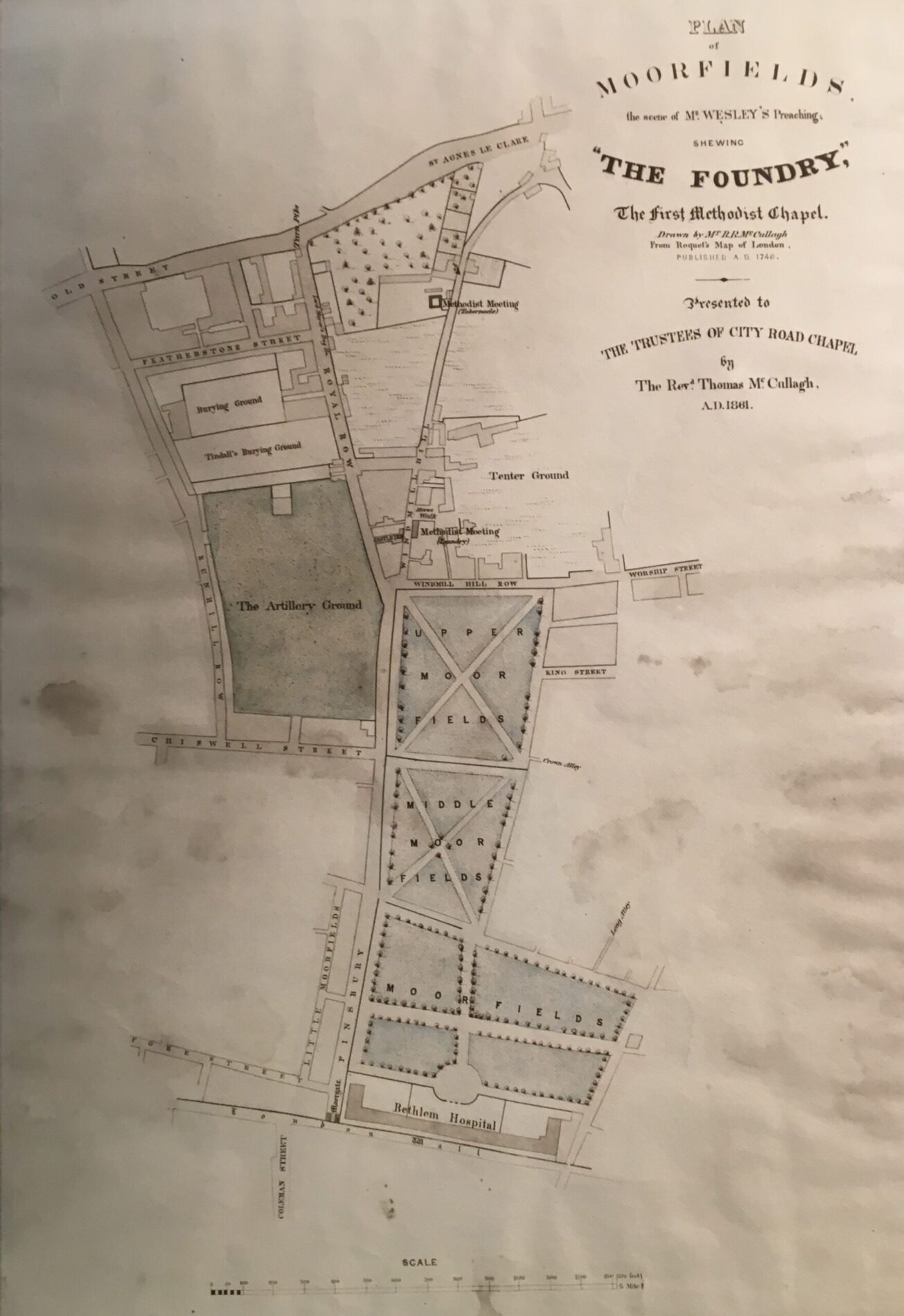
Drawn by R.R. McCullagh, then engraved, 1861
This commemorative map is based on one issued by Mr Roquet in 1746. It shows the Moorfields area around the time John Wesley was living and preaching at the Foundery Chapel. The Foundery is located to the right of the map, just above Upper Moor Fields, in Windmill Hill.
